Urban Drone Delivery · 15 September 2026
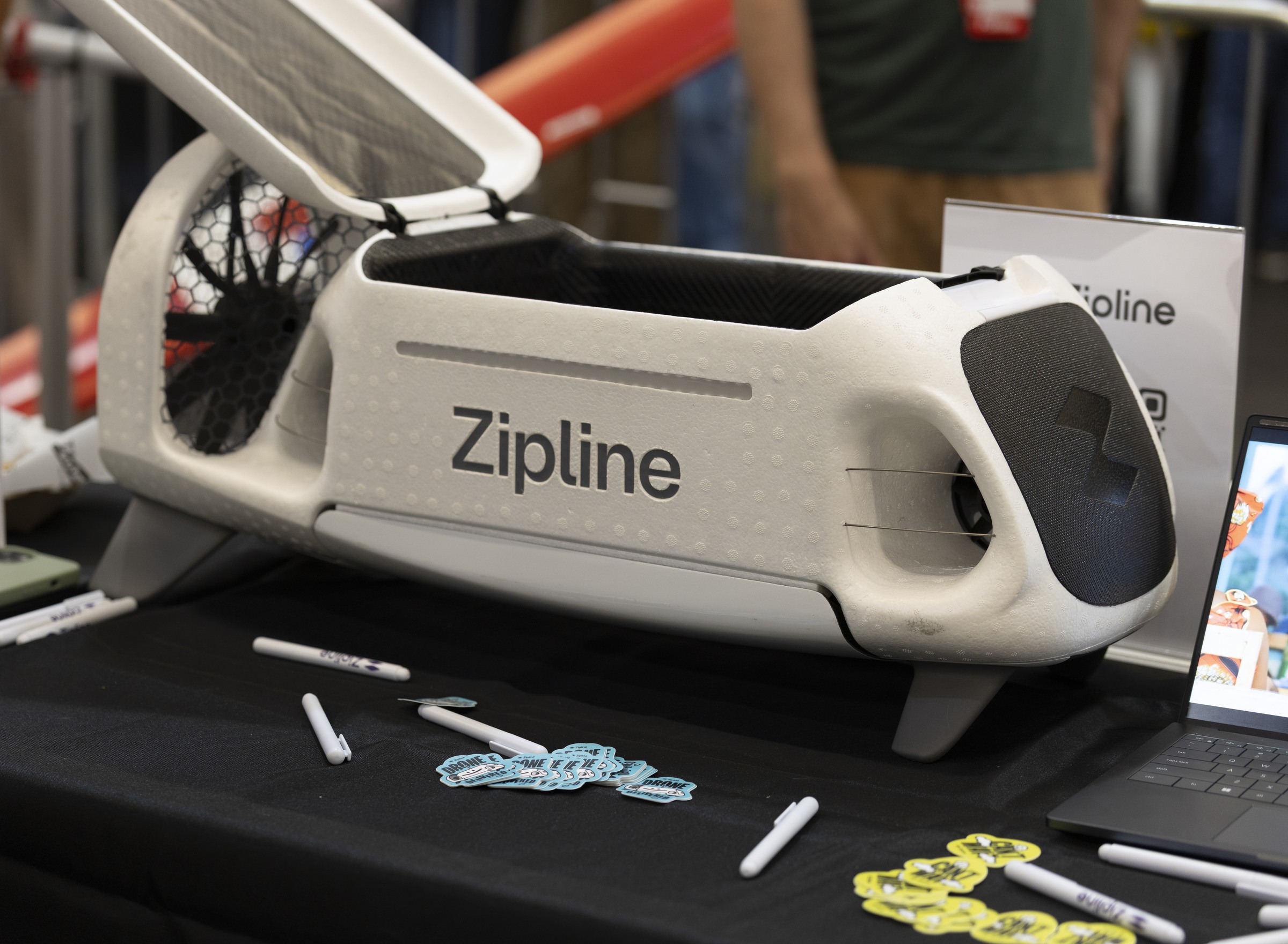
Uber and Zipline bring drones into the delivery mix
The partnership is about more than a new delivery option. It shows why cities will need a clearer view of routine commercial flights as they become more common.
Uber and Zipline announced a US drone-delivery partnership on 17 August 2026. The companies said initial deployments would begin later this year in existing Zipline markets, with plans to expand to dozens of US cities. Together, they are targeting one million drone deliveries a day by the end of 2029.
The million-deliveries figure is a 2029 target, not today’s volume. Nearer term, Uber says its hybrid network will match each delivery with the most suitable transport mode: a courier, a sidewalk robot or a drone.
Customers may see only the option offered in the app. City teams see something else: an aircraft using shared low-altitude airspace, sometimes near hospitals, utilities, temporary restrictions or another operator’s route.
The dispatch decision is only the start
The choice may happen inside Uber’s system, but a drone flight still has to comply with the applicable aviation rules, the approved operating area and the conditions attached to the operator’s authorisations.
During a small pilot, communities may recognise a familiar delivery route. As flight volume grows, that becomes harder. A drone above a street could be making a delivery, inspecting a utility line, supporting emergency services or flying for an unrelated operator.
The question from a resident or site operator is straightforward: is this flight expected here? The answer cannot depend on knowing which consumer app accepted the order.
A city sees the flight not the app
Uber and Zipline remain responsible for their own systems and operating procedures. Municipal teams, site operators and emergency services need a different view: the activity relevant to the places they manage, with enough information to check whether it matches a known operation.
SkyGrid is relevant at the city and infrastructure level. It brings mapped airspace, operational zones, flight context and supported sensor inputs into one interface. Where the required data is available, authorised teams can review activity around corridors and perimeters and keep structured event records. Specific integrations are scoped for each deployment.
The boundary is important. SkyGrid does not route Zipline aircraft, make Uber’s delivery decisions or authorise a flight. Aerial Grid is not announcing an integration or partnership with either company. Any interface with an operator, public authority or aviation system would need to be validated and scoped for the actual deployment.
What useful visibility looks like
City teams do not need access to customer orders. They need the relevant zone, known flight activity, the time and location of an event, and the source of the information they are reviewing.
In a properly scoped deployment, that can support corridor and perimeter awareness, incident review and coordination around sensitive sites. Infrastructure operators can use the same record when an expected route passes near a protected perimeter. A shared record can also make authorised activity easier to review and explain where the relevant data is available.
The limits matter. A map cannot infer intent from an unexplained observation, and a software record does not give a city powers it does not hold under law. SkyGrid helps authorised teams use the available evidence; it does not turn an alert into an enforcement decision.
Scale changes the public conversation
If the partnership reaches part of its stated ambition, drone delivery will become familiar in the communities it serves. Residents will judge it as part of the local transport system, including its reliability, noise and response when something goes wrong.
Delivery speed will attract customers. Public acceptance will also depend on whether routine flights can be identified and explained when residents, regulators or infrastructure operators raise questions.
Talk to Aerial Grid about a scoped city or infrastructure airspace view.
Editorial note: This article analyses the public Uber–Zipline announcement. Aerial Grid is not affiliated with the partnership and does not claim to support its operations.
Issued by Aerial Grid AG.
Editorial sources
Uber: Uber and Zipline partner to bring drone delivery to millions of Americans, 17 August 2026
Zipline: Zipline will make 1 million deliveries per day through new Uber partnership, 17 August 2026
Aerial Grid: SkyGrid product overview