Commercial Drone Operations · 6 October 2026
Lowe’s drone delivery pilot raises an urban airspace question
A single retail launch in North Carolina is modest in scale. The operating model behind it is not.
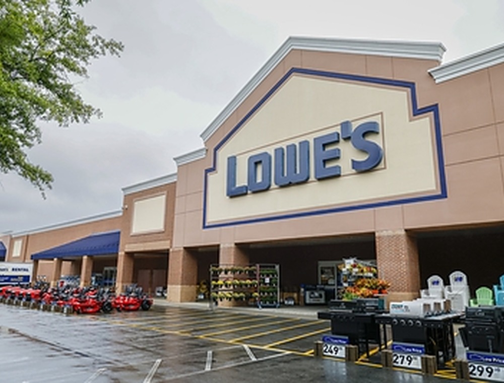 | 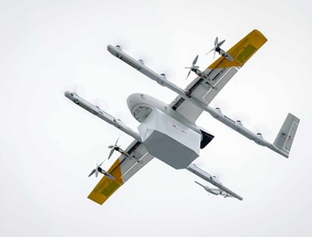 |
Lowe’s has launched a drone-delivery pilot from its Matthews, North Carolina store. Official press photograph: Lowe’s Companies, Inc., 24 September 2026. | Eligible Lowe’s orders are delivered by Wing drones through the DoorDash app. Official press photograph: Lowe’s Companies, Inc. / Wing. |
Lowe’s has added drone delivery to one of its North Carolina stores. The pilot is live in Matthews, near Charlotte, and uses the DoorDash app and Wing’s delivery network. Lowe’s says eligible orders can arrive in as little as 20 minutes, with Wing currently carrying about 2.5 pounds per flight.
The first orders are practical rather than dramatic: hand tools, paint products, tape, batteries, cleaning supplies and other items that can bring a job to a halt when they are missing. That makes the customer case easy to understand. What matters for cities is what follows if the model works.
One retailer is not the whole story
The Matthews launch builds on drone-delivery operations that Wing and DoorDash already run in the Charlotte area. Lowe’s is another merchant joining that network, not a separate airspace system created from scratch.
That distinction is important. A city may soon see deliveries generated by several retailers, flown by one or more operators, alongside survey aircraft, emergency services, infrastructure inspections and recreational drones. Each organisation can manage its own aircraft well and still leave the wider operating picture fragmented.
The issue is not whether one delivery can be completed safely. It is whether the airspace remains understandable as routine flights come from more places, for more purposes, at more times of day.
The city sees more than the delivery app
A customer sees an order status and an estimated arrival time. An operator sees the flight plan, aircraft status and mission data needed to run the delivery. A local authority, airport or infrastructure owner may need a different view: what activity is expected near a particular site, which operating zones are active, and whether an observation corresponds with a known flight.
Those questions become harder when information sits in separate systems. More flights do not automatically create more shared awareness.
SkyGrid addresses this gap by bringing mapped airspace, operational zones, flight context, telemetry, alerts and event records into one operational view. It does not approve or control flights. It helps authorised teams compare planned or known activity with the information available to them, without rebuilding the picture from several tools.
Build the view before volume arrives
Lowe’s is testing a new fulfilment option at one store. It would be premature to treat that as evidence of dense, city-wide drone traffic. But the direction is clear: delivery networks can add merchants and use cases faster than a city can replace its operational processes.
The sensible time to define information-sharing, escalation and record-keeping is before traffic becomes difficult to follow. Operators will still manage their aircraft. Regulators will still set the rules. Public authorities and infrastructure owners will still make decisions within their own legal remit. What they need between those responsibilities is a dependable, shared view of low-altitude activity.
Retail drone delivery may begin with a forgotten roll of tape. At city scale, it becomes an airspace-coordination question.
Discuss a scoped urban-airspace deployment with Aerial Grid.
Editorial note
Aerial Grid did not participate in the Lowe’s, DoorDash or Wing pilot. This article considers the airspace-management questions that arise if commercial drone delivery scales across cities.
Sources
• Lowe’s Companies, Inc. — Lowe’s becomes first home-improvement retailer to offer drone delivery, 24 September 2026 (corporate.lowes.com)
• Aerial Grid — SkyGrid (aerialgrid.ai)
Published by Aerial Grid AG