Airspace Security · 12 August 2026
An unidentified object near Gatwick: what the Airprox report shows
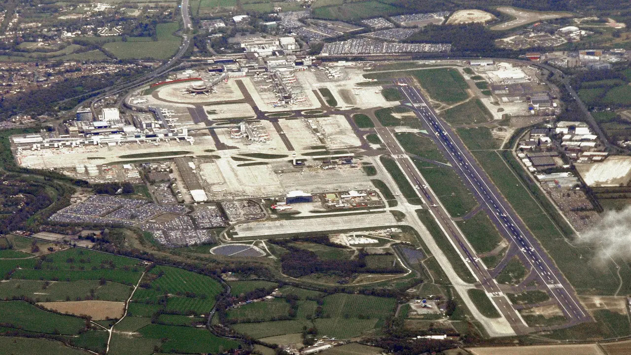
On 29 April 2026, the crew of an Airbus A319 reported an unidentified object while descending under Gatwick Control. The UK Airprox Board's June 2026 summary records the event as Airprox 2026064.
The pilot described a disc-shaped object travelling in the opposite direction at about the same level. It was estimated to have passed 100 to 300 feet from the aircraft's right wing while the A319 was at roughly 8,500 feet and descending. The pilot suspected that it might have been a drone but could not identify it with confidence.
NATS reviewed the radar recording and found no associated contact. The Airprox Board was also unable to determine what the object was. It assessed the event as Risk C: safety had been reduced, but there had been no risk of collision.
That is where the official record ends. The object was not confirmed as a drone, and Aerial Grid was not involved in the event or the investigation.
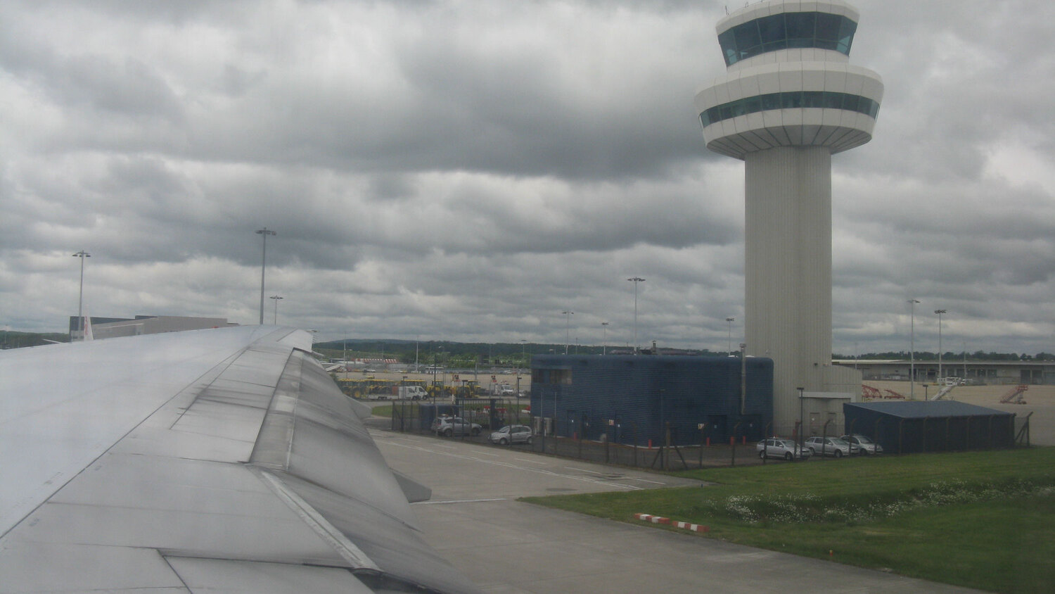
The pilot report and the available radar record did not establish the object's identity. Photo: M J Richardson, CC BY-SA 2.0; cropped to 16:9.
What the report could establish
The report preserves what was known at the time: the aircraft's position and altitude, the pilot's description, the estimated separation, the controller's response and the later radar review. Other aircraft were warned, but no further sighting was recorded.
It could not establish the object's identity, where it came from, where it went or whether it was connected with any authorised activity.
This is not unusual in a short encounter. At closing speed, a pilot may see little more than an outline. The Airprox Board therefore distinguishes between a clearly described drone and an unknown object. In this case, there was not enough evidence to reach a firmer conclusion.
A sighting is not a complete airspace picture
A pilot report is an important aviation-safety input. On its own, however, a brief sighting may not show:
what the object was;
whether it was broadcasting Remote ID;
whether a related radio-frequency signal was present;
whether the activity was authorised;
whether another sensor observed the same event; or
where the object came from and where it went next.
The practical problem is straightforward. Something may be seen in sensitive airspace, yet the evidence needed to classify it and reconstruct the event may not be available.
The issue is not simply whether an object can be detected. Airport teams need enough information to understand what they are looking at and to explain the decision that follows.
Planned activity and physical activity are not the same thing
Airports operate in highly regulated airspace, but a regulatory boundary does not show what is physically present. It defines what is allowed.
Flight plans and UTM records describe authorised or expected activity. Remote ID can identify drones that are broadcasting correctly. Physical sensors may observe cooperative and non-cooperative activity. Each source is useful, but each shows only part of the picture.
The operational task is to bring those sources together: compare what was planned with what was observed, add the relevant airspace context and preserve the result for review.
That is the connection Aerial Grid is designed to support.
SkyRadar: adding physical observations
SkyRadar is Aerial Grid's passive, ground-based sensing hardware for low-altitude airspace.
It combines Remote ID decoding, radio-frequency sensing and radar data input. Structured observations can be shared with other systems through MQTT, REST and webhooks. SkyRadar does not jam or interfere with aircraft or drone signals.
In an airport or transport environment, a deployment can be planned around defined perimeters and operating zones. Its purpose is to add independent observations to the information already available to safety and security teams.
Coverage is specific to the site. Performance depends on the environment, sensor placement, the local radio-frequency landscape and the sensing modes included in the deployment. SkyRadar should not be presented as a system that will identify every object, and the Gatwick report does not provide enough information to claim that it would have identified this one.
Its value is more practical: within a properly designed low-altitude deployment, it can provide physical observations that a visual report or Remote-ID-only receiver may not provide on its own.
SkyGrid: turning observations into operational context
SkyGrid brings available observations and airspace context into one operational view.
It can combine cooperative and non-cooperative inputs with mapped airspace, operating zones, flight context, alerts and structured event records. Where identity or authorisation data is available, teams can compare a physical observation with the declared operation instead of reviewing each source separately.
This supports a clearer set of operational questions: Does the activity match an approved flight? Has it entered a defined zone? Which sensor produced the observation? What is known, and what remains uncertain?
SkyGrid also creates structured event records that support operational decisions, compliance review and audit-ready workflows. It connects with ATM, ANSP, vertiport systems and other digital aviation infrastructure through validated interfaces; each integration is scoped per deployment. SkyGrid supports cloud, on-premises and hybrid deployment, with the model selected according to operational and security requirements.
SkyRadar supplies physical observations at the edge. SkyGrid places those observations beside the operational record. Used together, they give teams a clearer basis for assessment without pretending that uncertainty has disappeared.
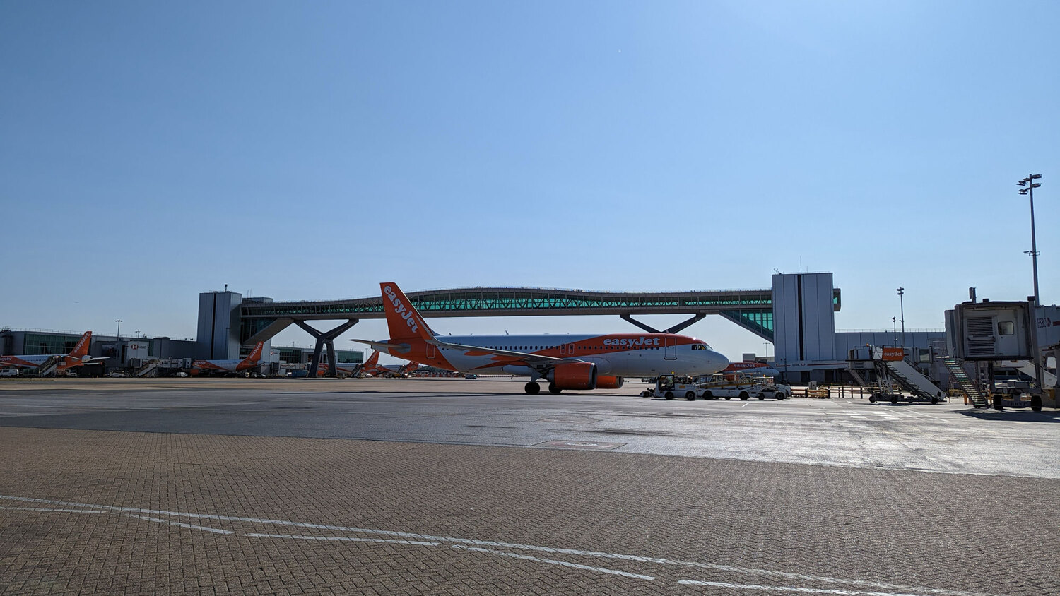
Dense airport operations depend on shared information and a clear record of unexpected activity. Photo: David Wheatley, CC BY-SA 4.0; cropped to 16:9.
Airports are part of a wider low-altitude network
An airport is not isolated from the airspace around it. Nearby activity may include emergency-service flights, inspection work, logistics operations, public-safety missions and, over time, more routine BVLOS and urban air-mobility services.
Many of those flights will be legitimate and useful. The long-term task is not to keep every drone out. It is to distinguish authorised activity from activity that cannot be explained, while giving airport, security and aviation teams access to the same information.
This need extends beyond a single perimeter. Cities, ports, energy sites, transport corridors and future U-space zones will face the same requirement: know what is present, compare it with what was authorised and keep a reliable record of the event.
From an unresolved sighting to a better operating model
The Gatwick report should not be presented as proof of a confirmed drone threat. It is a documented case in which a credible observation could not be fully explained by the information available.
The reported altitude was also above the low-altitude domain in which Aerial Grid is positioned. It would therefore be misleading to claim that SkyRadar and SkyGrid would necessarily have identified this particular object.
The wider lesson is still relevant. The same gap between observation, identity and intent appears in the lower-altitude zones that airports and infrastructure operators increasingly need to manage.
Reliable airspace awareness should help teams compare independent observations, understand the context and retain a record that can be reviewed later. It should also be honest about what remains unknown.
That is the awareness, insight and trust layer Aerial Grid is building for low-altitude airspace.
If you are responsible for airport security, transport infrastructure or a U-space programme, talk to Aerial Grid about a scoped airspace-awareness deployment.
Issued by Aerial Grid AG.
Image credits and licences
"Gatwick Airport (50850159593)" by Mike McBey, CC BY 2.0, via Wikimedia Commons. Cropped to 16:9.
"Air Traffic Control Tower at Gatwick" by M J Richardson, CC BY-SA 2.0, via Wikimedia Commons. Cropped to 16:9.
"Gatwick Airport apron" by David Wheatley, CC BY-SA 4.0, via Wikimedia Commons. Cropped to 16:9.
.jpg)

